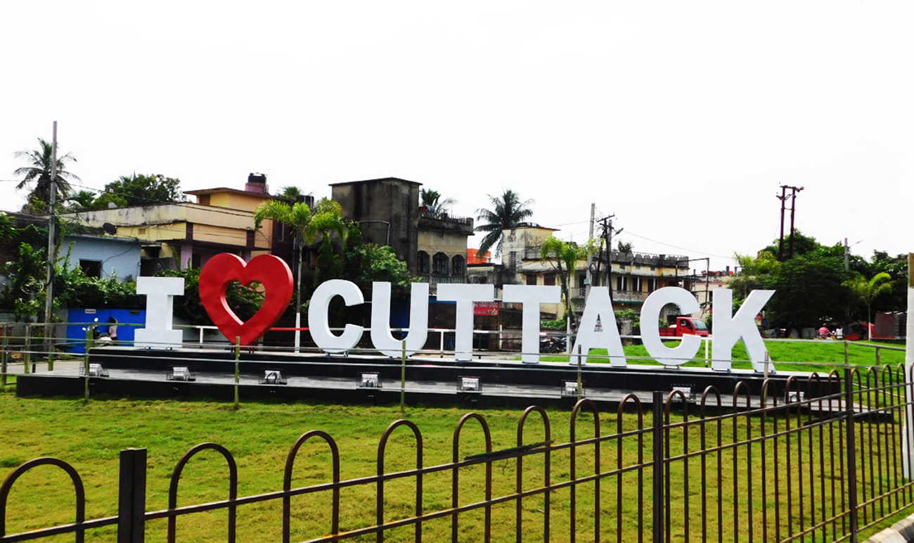
Cuttack district is one of the 30 districts of Odisha state in India. It is located in the coastal part of the state and its administrative headquarters are located in the city of Cuttack. As of 2011 Census, after Ganjam, it is the second most populous district of Odisha (out of 30), with a population of 2,624,470.[1] The name is an anglicized form of Kataka or Katak meaning Fort – referring to the Barabati Fort. The district is bisected by the river Mahanadi and its numerous distributaries and occupies a large portion of the river’s delta. It is bounded by the Angul, Dhenkanal, Nayagarh and Khurda districts to the west while its southern and eastern boundaries touch Puri, Jagatsinghpur, Kendrapara and Jajpur districts.
#1Field
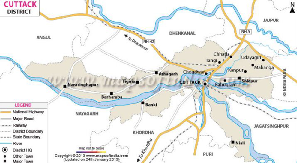 Geographically, it is located at a latitude of 20 degree 03″ to 20 degree 40″ N and a longitude of 84 degree 58” to 86 degree 20″ E. Cuttack city is flanked by Mahanadi river on the north and Kathajodi river on the south. Covering a geographical area of 3932 sq kms, the District is highly populated. The District experiences tropical climate, with the summer being hot and the winter cold. The maximum temperature that this District experiences is well above 40 degree Celsius (during summer) and the minimum is as low as 10 deg C (during winter). Summer generally lasts from March to June and winter, from October to February.
#2Sadar Mahakuma
 Cuttack Sadar is a Town and Tehsil in Cuttack District of Odisha. According to census 2011 information the sub-district code of Cuttack Sadar Block (CD) is 02962. Total area of cuttack sadar tehsil is 121 km². Cuttack Sadar tehsil has a population of 1,08,641 peoples. Cuttack Sadar has a population density of 894.7 inhabitants per square kilometre. There are about 24,259 houses in the sub-district.
When it comes to literacy, 76.77% population of cuttack sadar tehsil is literate, out of which 82.24% males and 71.09% females are literate. There are about 96 villages in cuttack sadar tehsil, which you can browse from cuttack sadar tehsil villages list (along with gram panchayat information) below.
Cuttack Sadar is a Town and Tehsil in Cuttack District of Odisha. According to census 2011 information the sub-district code of Cuttack Sadar Block (CD) is 02962. Total area of cuttack sadar tehsil is 121 km². Cuttack Sadar tehsil has a population of 1,08,641 peoples. Cuttack Sadar has a population density of 894.7 inhabitants per square kilometre. There are about 24,259 houses in the sub-district.
When it comes to literacy, 76.77% population of cuttack sadar tehsil is literate, out of which 82.24% males and 71.09% females are literate. There are about 96 villages in cuttack sadar tehsil, which you can browse from cuttack sadar tehsil villages list (along with gram panchayat information) below.
#3Population
 An official Census 2011 detail of Cuttack, a district of Orissa has been released by Directorate of Census Operations in Orissa. Enumeration of key persons was also done by census officials in Cuttack District of Orissa.
In 2011, Cuttack had population of 2,624,470 of which male and female were 1,352,760 and 1,271,710 respectively. In 2001 census, Cuttack had a population of 2,341,094 of which males were 1,207,781 and remaining 1,133,313 were females. Cuttack District population constituted 6.25 percent of total Maharashtra population. In 2001 census, this figure for Cuttack District was at 6.36 percent of Maharashtra population.
An official Census 2011 detail of Cuttack, a district of Orissa has been released by Directorate of Census Operations in Orissa. Enumeration of key persons was also done by census officials in Cuttack District of Orissa.
In 2011, Cuttack had population of 2,624,470 of which male and female were 1,352,760 and 1,271,710 respectively. In 2001 census, Cuttack had a population of 2,341,094 of which males were 1,207,781 and remaining 1,133,313 were females. Cuttack District population constituted 6.25 percent of total Maharashtra population. In 2001 census, this figure for Cuttack District was at 6.36 percent of Maharashtra population.
#4Education
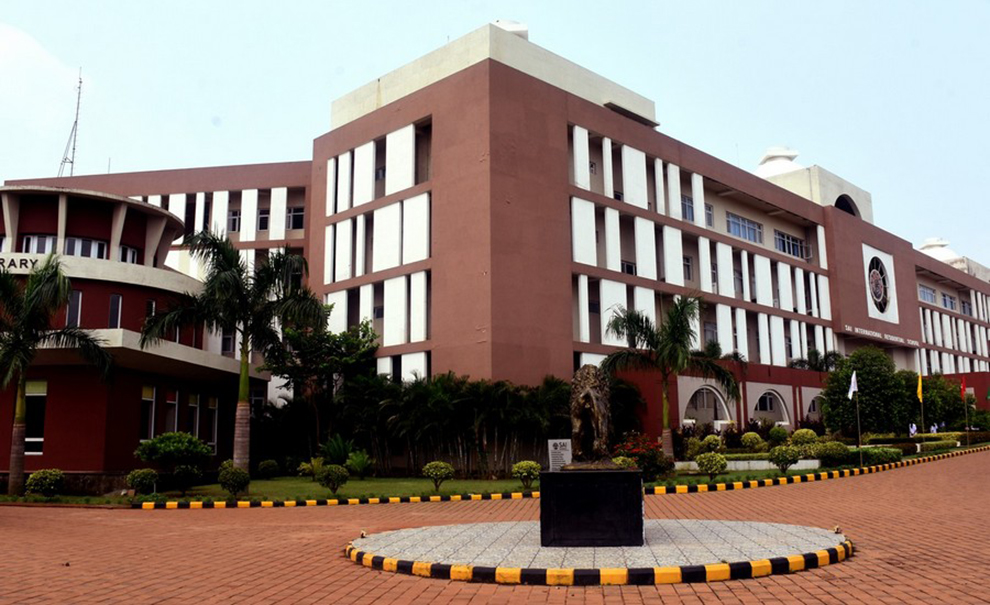 Cuttack city is the educational hub of Odisha and is home to numerous institutions of repute. The main colleges and universities located in Cuttack include the Ravenshaw University, Odisha's oldest college, the SCB Medical College and its hospital – again the oldest and largest in the state, the Piloo Mody College Of Architecture, the Sailabala Women's College as well as the National Law University Odisha.
#5Transportation
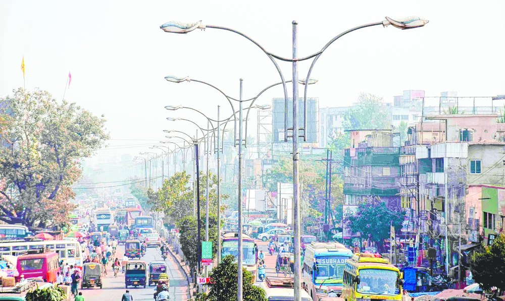 Cuttack's location places it at the centre of the road and railway network in Odisha. National Highway 16 connecting Kolkata and Chennai passes through the district. Major State Highways to Dhenkanal, Banki, Sambalpur and Puri take off from this road. Other important roads connect to Bhubaneswar, Khurda, Jagatsinghpur and Kendrapara.The main-line of the East Coast Railway connecting Howrah to Chennai Central has a station at Cuttack. Lines to Paradip and Sambalpur via Talcher take off from the district. Almost all trains passing through have a stop at Cuttack.
#6Famous River
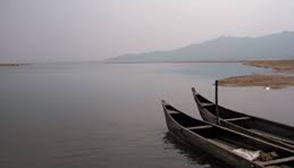 Cuttack stretches from Phulnakhara across the Kathajodi in the south to Choudwar in north across the Birupa River.. Four rivers including Mahanadi and its distributaries Kathajodi, Kuakhai, Birupa run through the city. Further Kathajodi is distributed into Devi and Biluakhai which often makes the geographical area look like fibrous roots.
#7Cuttack Overview Barabati Fort
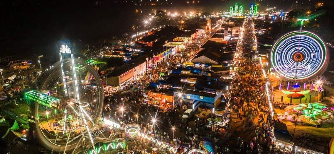
 Ta'apoi is closely associated with the Bali Jatra festival, which recalls traditional memories of young maidens waiting for the return of their sailor brothers. In Cuttack, Bali Jatra is celebrated annually as a large open fair near the Barabati Fort area.
#8Famous Balijatra
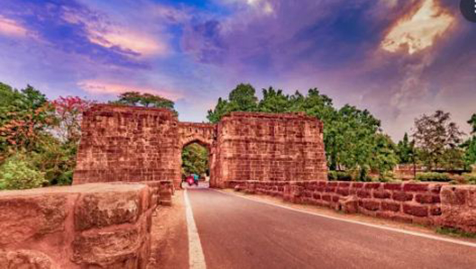
 The Barbati Fort in Cuttack in Oddisa is a well known fort with carved gateway. It is about 8km away from the city. It is a 14th century fort build during the Ganga dynasty. The fort is situated on the river Mahanadi. The fort is situated at such a calculated place that it provides a beautiful and spectacular view of the modern Cuttack city. It is the earthen mound of the 9 storeyed palace. The monument was built with fortification to protect from enemy attacks. In present days a nearby Barbati stadium is build for cultural and various sports events. There is also a temple dedicated to Katak Chandi. The fort brings charm to the city and depicts its glorious history.
Reactions
Already reacted for this post.